
Information About Coordinate Systems
 Ribbon: Topoplan – Settings >
  Information About Coordinate Systems
Menu: *Topoplan – Settings > Information About Coordinate Systems
Toolbar: *Topoplan Settings > Information About Coordinate Systems
 Command line: NG_CRS_INFO
Viewing information about all available coordinate systems, including user-created ones.
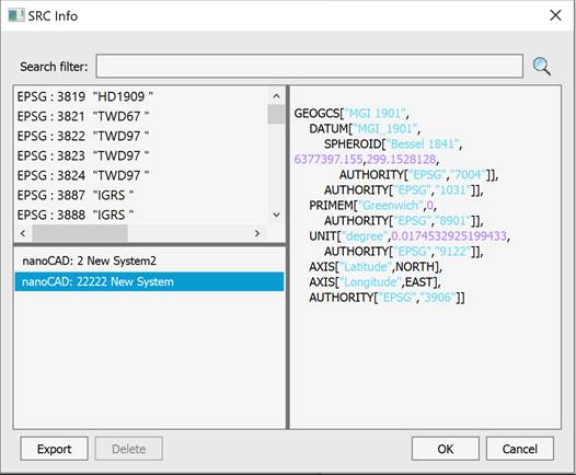
By selecting a coordinate system from the list of available ones, it is possible to export the selected SC to a file in .prj format, or delete the selected SC.
Feedback
Copyright © 2026 CSoft AS
—
Powered by 
Post your comment on this topic.