
Topoplan
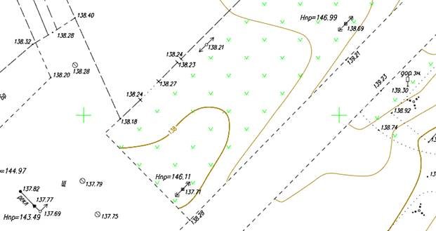
The Topoplan module is designed to create a digital terrain model and prepare a drawing for the release of topographic plans.
The commands are collected in the Topoplan ribbon tab (and Topoplan menu of the classic interface).
NOTE: If there is no license for the module, when the commands start a warning message will appear that the commands will not work.
The Topoplan module includes support of Civil 3D objects. If you open a drawing containing such objects, then they will be displayed as drawing objects (and not as proxy graphics), display of their properties (for example, on the Properties bar), switching styles, and managing style elements for some objects will be available.
Displaying command settings in the Properties bar
Settings of most module commands are displayed and edited on the Properties toolbar. If the Properties toolbar was not open (for example, by CTRL+1), it will be displayed automatically. At this time, the prompt is displayed in the command line: Change the settings, if necessary, and continue to perform the command by pressing ENTER or selecting Yes in the command line. If the display of dialogue boxes has been disabled by CMDDIA variable, the command options will be output one by one to the
Post your comment on this topic.