
Import measurements
 Ribbon: Topoplan – Measurements Archive >
 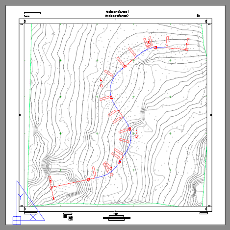 Import Measurements
Menu: Topoplan – Measurements Archive >  Import Measurements
 Command line: GEOFILE_IMPORT_MEASUREMENTS
Importing measurement files into a drawing.
If the command was launched from the context menu of a file selected in the Geofiles folder in the CFile Explorer bar, then the current drawing is immediately imported from the measurement file.

If the command was launched from the ribbon, menu or command line, then a file open dialog appears with the Geofiles folder open, where you should specify the measurement file to be imported.
The contents of the DWG files will simply be pasted into the current drawing. For files of other formats, the Import geopoints command will be launched.
Post your comment on this topic.