Specialized software for processing 3D scanning data
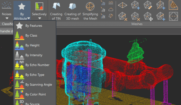
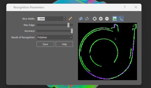
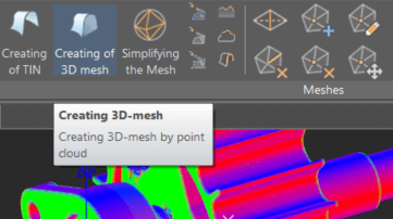
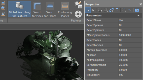
nanoCAD 3DScan is a specialized software tool for processing 3D scanning data, addressing engineering and informational challenges in areas like geodesy, mechanical engineering, construction, infrastructure, and metrological monitoring.
Scope of Application
Modeling
- Three-dimensional modeling, including simulation;
- Support for Building Information Modeling (BIM);
Design
- Construction and operation of engineering structures, buildings, and communications;
- Design of machines and mechanisms;
Topography
- Creation of 2.5D drawings and plans, including topographical ones;
- Populating GIS systems.
Monitoring
- Monitoring the technical condition of facilities, emergency situations, and environmental conditions;
- Inventory and automation of creating digital twins of industrial facilities.
Supervision
- Modeling transportation tasks;
- Collision detection;
- Author's supervision.
Measurements
- Conducting operational calculations and measurements.

