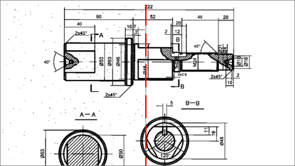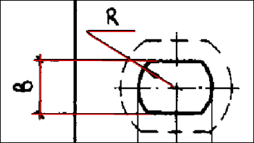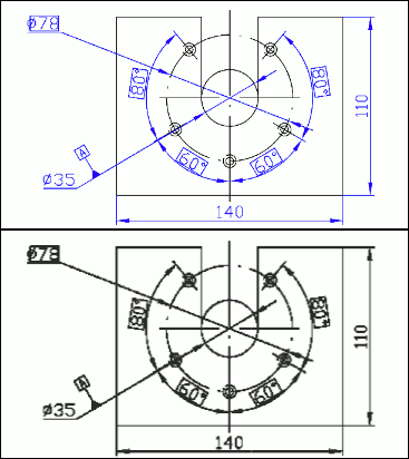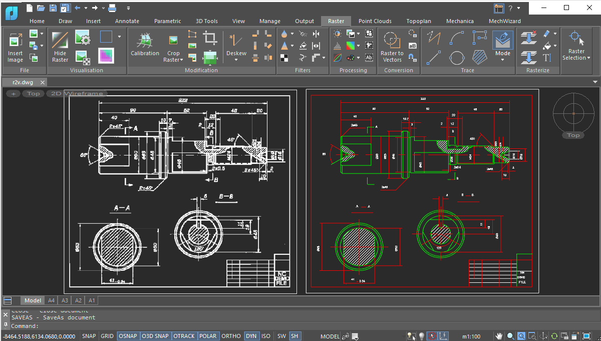
The Raster Module converts raster images into the vector objects by recognizing the following entities: points, lines, arcs, circles, hatches, texts, symbols, and outlines. At the end of the vectorization process, lines, circles, arcs, polylines, and arrowheads are recognized as object types.
The Raster Module offers a rich variety of monochrome filters, such as smoothing, thinning and thickening, removing speckles, filling holes, generating contours, and inverting images. These not only improve image quality, but also reduce the size of raster files significantly.
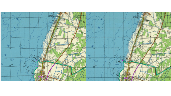
The Raster Module corrects geometric distortions in raster images, whether monochrome, grayscale, or color:
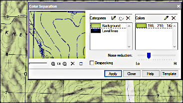
The Raster Module separates objects of different colors (such as roads and rivers) onto their own monochrome layers. The efficiency obtained in using this technique is higher than by making black-and-white scans of color images.
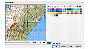
The Raster Module’s color correction tools prepare images for subsequent complex operations, such as editing, slicing, and raster-to-vector conversion:
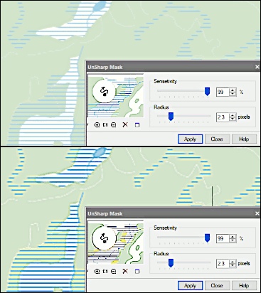
The Raster Module’s color filtering tools prepare images for subsequent operations. Color filtering improves the quality of images after operations that move entities in the image or change the resolution through scaling, alignment, rotation, calibration, and four-point correction. Tools in color filtering include the following:
The Raster Module vectorizes raster images of any type through tracing. it also smoothes and removes artifacts from monochrome images.
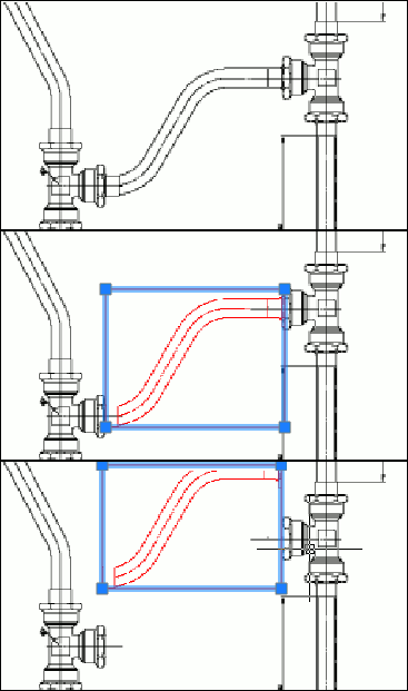
The Raster Module rasterizes and merges selected vector and raster data onto underlying raster images. The selection can consist of raster images or/and CAD objects.
The Raster Module selects the following portions of raster images and transfers them to new raster images on specified layers: