DWG CAD software

Topoplan - A digital terrain modeling tool

nanoCAD's Topoplan module extends the nanoCAD platform with tools for digital terrain modeling and documentation. It is designed to make the work of surveyors more efficient.

New in Topoplan Module

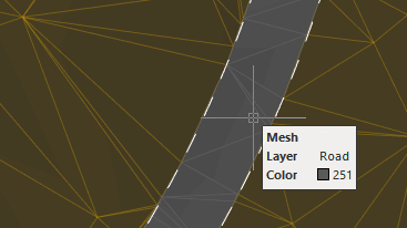
  • Projecting Objects onto a Surface
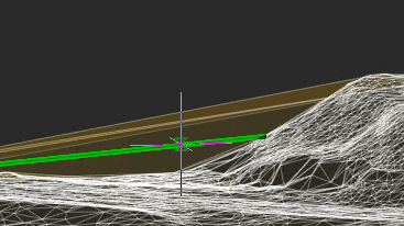
  • 3D Slopes
  • Structural Lines Along a 3D Slope
  • Adding a 3D Slope to a Surface
  • Extracting a Surface Boundary
  • Geocalculator
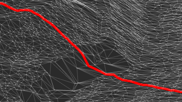
  • Route Objects and Route Labels
  • New Commands in the Topoplan Module
  • Updates and Improvements in Topoplan Module

Key Features

Advanced Surface Creation

Advanced Surface Creation

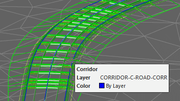
Support for Civil 3D Objects

Support for Civil 3D Objects

Textures Applied to Meshes and Calculations Performed

Textures Applied to Meshes and Calculations Performed

Multiple Data Sources for Creating Digital Terrain Models

Multiple Data Sources for Creating Digital Terrain Models

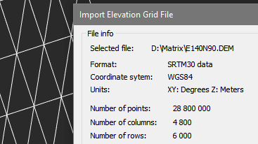
Import-Export Options

Import-Export Options

Surface and Contour Construction

Surface and Contour Construction

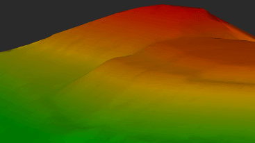
Relief of the earth's surface

Relief of the earth's surface

Additional Surface Tools

Additional Surface Tools

Additional Relief Element Tools

Additional Relief Element Tools

Quick Video Guides

Preparing Source Data and Creating a TIN

Working with surfaces and creating contour lines

Work with GIS data and preparing drawings for printing